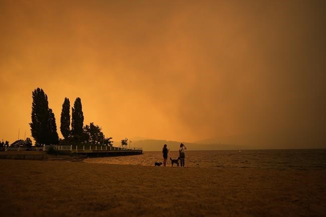
Twelve of the 400 or so blazes burning in British Columbia are described by the province's wildfire service as "wildfires of note," meaning they are highly visible or pose a threat to public safety.
Here is a look at the 12 fires, with information provided by the BC Wildfire Service as of Friday at 1 p.m., Pacific time:
Name: Bush Creek East wildfire
Location: West and east of Adams Lake, north of Shuswap and Little Shuswap lakes, south of Highway 1 between Chase and Sorrento
Size: 431 square kilometres
Suspected cause: Lightning
-
Name: Casper Creek wildfire
Location: 24 kilometres west of Lillooet
Size: 110 square kilometres
Suspected cause: Lightning
-
Name: Kookipi Creek wildfire
Location: 50 kilometres south of Lytton
Size: 170 square kilometres
Suspected cause: Lightning
-
Name: Stein Mountain wildfire
Location: 15 kilometres northwest of Lytton, west of Fraser River
Size: 47 square kilometres
Suspected cause: Lightning
-
Name: McDougall Creek wildfire
Location: Near West Kelowna
Size: 137 square kilometres
Suspected cause: Under investigation
-
Name: Great Beaver Lake wildfire
Location: Prince George fire centre
Size: 92 square kilometres
Suspected cause: Lightning
-
Name: Whitefish Lake wildfire
Location: Prince George fire centre
Size: 57 square kilometres
Suspected cause: Lightning
-
Name: Greer Creek wildfire
Location: Prince George fire centre
Size: 47 square kilometres
Suspected cause: Lightning
-
Name: Crater Creek wildfire
Location: Kamloops fire centre
Size: 465 square kilometres
Suspected cause: Lightning
-
Name: Upper Park Rill wildfire
Location: Kamloops fire centre
Size: 20 square kilometres
Suspected cause: Human, accidental or intentional
-
Name: Rossmore Lake wildfire
Location: Kamloops fire centre
Size: 111 square kilometres
Suspected cause: Lightning
-
Name: Downton Lake wildfire
Location: Kamloops fire centre
Size: 94 square kilometres
Suspected cause: Lightning
-
This report by The Canadian Press was first published Sept. 1, 2023.
The Canadian Press


